Hiking difficulties: learning about them
When hiking, it is never easy to judge the difficulty of a route. Particularly in the mountains, the variables are numerous and subjective, but if you know the main aspects to consider, it is certainly possible, even as a beginner, to assess the characteristics of an excursion.
The physical commitment
As we have said, there are subjective aspects that depend to a large extent on the level of physical preparation, so in order to assess the feasibility of an excursion it is essential to refer first to two concrete and measurable parameters: distance and difference in altitude. The former expresses the length of the route in kilometres, while the latter gives a rough indication of the amount of climbing involved. These two measurements tell us exactly how long and how hard the route is going to be and help us decide if it is within our physical capabilities.
If you really don't know your reference distances, there is no better way to test your endurance than to carry out simple walking endurance tests, starting with small, flat walks in the park near your home, for example, and gradually increasing both the mileage and the elevation gain.
Assessing the difficulties
Let us now turn to the purely technical aspect. In Italy, the Italian Alpine Club (CAI) is in charge of classifying the difficulty of itineraries, using a very simple scale that tries to give an objective assessment of the routes.
Specifically in the field of hiking, let us see how the different types of trails differ and according to which criteria the difficulty of the trails is assessed:
T 'Tourist' represents a route developed on a dirt road; therefore it is a clearly signposted route.
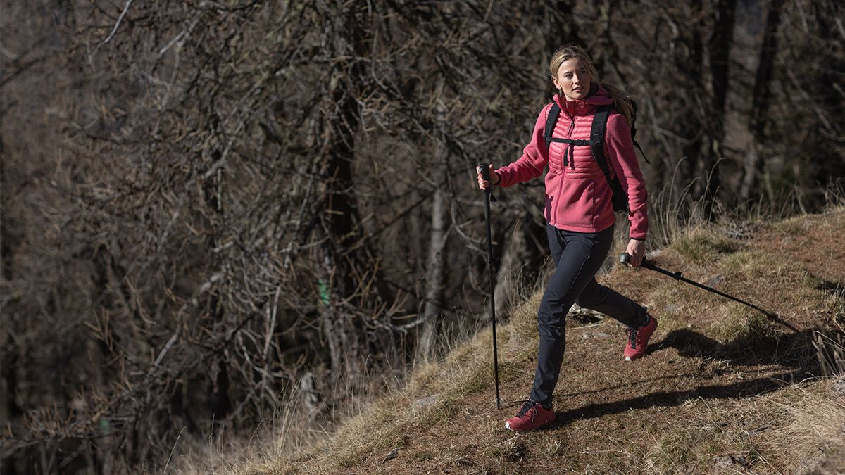
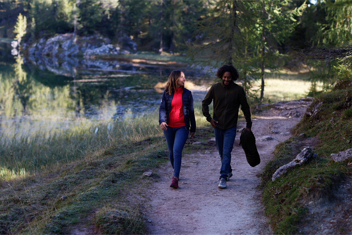
E 'Hiking', a route that typically follows mountain or hillside paths. At this level of difficulty, the itinerary is clearly visible but, unlike the T level, it does not follow a road or pedestrian or cycle path, but follows natural terrain in a mountainous environment, where it is therefore necessary to be equipped with the appropriate hiking gear to move around in the safest way possible, with boots in primis, and to know how to use orientation tools and techniques.
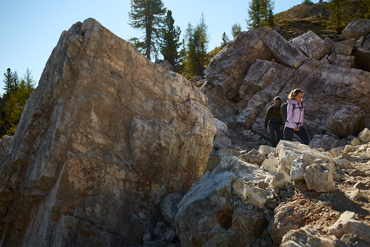
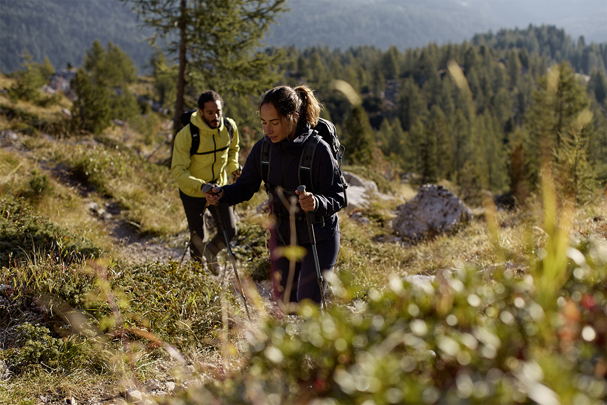
EE "for expert hikers", EE itineraries are those that typically present technical difficulties that should not be underestimated, where it is likely to be necessary to cross some exposed or delicate passages or stretches where the direction to take is not obvious (for example, crossing an area characterised by stony ground or poorly marked paths). In these cases, it is necessary to be able to "read" the terrain in order to find the best route and, of course, to know how to use navigational, cartographic and orientation tools.